Log in
All resources
Create a design
50 Free Artworks of Maps Of Rivers Of The United States
maps in the library of congress
maps by john cary
john cary
maps of the hudson river
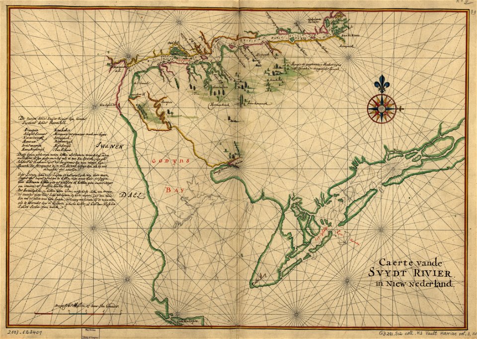
maps of nieuw nederland
english-language maps
new amsterdam
old maps of new york (state)
french-language maps of north america
maps by louis brion de la tour
west-indische compagnie
image restoration
1805 maps of the united states
maps by john cary
maps by willem and johannes blaeu
hudson valley
old constellation maps
maps by samuel dunn
cadastral maps of the united states
maps of mount vernon
maps of the west-indische compagnie
1800 maps of the united states
maps of saguaro national park
oro valley
maps in the library of congress
adriaen van der donck
everett d. graff collection of western americana
cherokee nation
glaciers and glaciation (1910)
maps of yakutat bay
charts and maps of the royal museums greenwich
1778 maps of new york (state)
bird's eye view of knoxville, tennessee, 1886
maps in the library of congress
charts and maps of the royal museums greenwich
1777 maps of new york (state)
1810 maps of north america
1810 maps of mexico
1806 maps of the united states
maps by john cary
hudson river in the 19th century
steamboats of the united states
maps by peter lesley
maps by james hall
1849 maps of north america
old maps of canada
old maps of st. augustine, florida
john white (colonist and artist)
1747 maps of north carolina
maps by emanuel bowen
1777 maps of new york (state)
1777 maps of new jersey
colonial history of the united states
old maps of new york (state)
1860s maps of georgia (u.s. state)
maps in the library of congress
chicago and the midwest, newberry library
old maps of the mississippi river
zehn karten und ansichten den schlachtfelden des amerikanischen unabhängigkeitskreiges in den staaten pennsylvanien und new york
maps in the library of congress
travels in the interior of north america, during the years 1832–1834
works by maximilian zu wied-neuwied
maps by louis brion de la tour
1786 maps of north america
everett d. graff collection of western americana
st. louis, missouri in the 1800s
the magazine of american history with notes and queries (1877)
john andré
maps from the earth and its inhabitants, vol. xvii
maps of u.s. water resource subbasins
salt river, arizona
john e. weyss
1805 maps of the united states
maps by john cary
1747 maps of new hampshire
english-language maps
maps in the library of congress
1777 maps of north america
maps in the library of congress
1744 maps of north america
1870s maps of kentucky
maps of the ohio river
the comprehensive history of england (1876)
english-language maps showing history
french-language maps of north america
1809 maps of north america
maps by john cary
1799 maps
1800s maps of the americas
maps by john cary
old maps of manhattan, new york city
croton aqueduct
maps by pieter mortier
maps from gallica
west-indische compagnie
image restoration
1779 maps of the united states
1770s maps of the caribbean
history of philadelphia
lithographs
maps of paris from the david rumsey historical map collection
1778 in paris
carte du mexique et de la floride by guillaume delisle (1703)
bibliothèque nationale de france
carte du mexique et de la floride by guillaume delisle (1703)
bibliothèque nationale de france
prints in the royal collection of the united kingdom
thomas vivares
history of philadelphia
lithographs
1 - 50 of 50
/ 1